For those who missed my recent posts about cartographer Joseph Nicollet (
here and
here), he figured prominently in exploration and mapping of our country. He left France in 1832, intent on surveying the great triangle between the upper Mississippi and Missouri Rivers. Though penniless and with only a few contacts initially, he managed to make three expeditions through the region. The first was privately supported, in part by wealthy fur traders eager for factual maps. The second and third were funded by the Federal Government, with Nicollet the appointed leader. Not bad for a recent immigrant!
Nicollet's Hydrographical Basin of the Upper Mississippi River From Astronomical and Barometrical Observations was the first accurate map of the region. As the title indicates, he relied heavily on instruments—at that time a novel approach, especially the use of barometry to determine elevation. This was a map years ahead of its time.
Decades later, GK Warren of the Corps of Topographical Engineers referred to Nicollet's map as "one of the greatest contributions ever made to American geography." He suggested Nicollet would have become head of the Corps if had he lived longer.
 |
North end of the Coteau des Prairies from Nicollet's map. Hachure lines show
relief. The entire map—high-resolution and zoomable—is available here. |
 |
| Joseph Nicollet, date unknown. Source. |
Fittingly, Nicollet has been honored in the region he surveyed—e.g., the town of Nicollet in Nicollet County, Minnesota; Nicollet Avenue in Minneapolis; and especially
Nicollet Tower on the Coteau des Prairies in northeast South Dakota. (The Tower and Interpretive Center are highly recommended!)
 |
| Nicollet Tower west of Sisseton. From the top, the views are wonderful. |
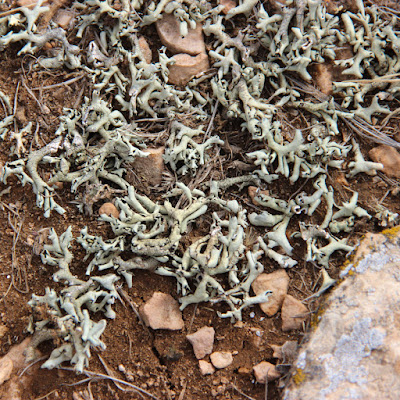
Nicollet also was honored with a plant, though not one from his survey area—in fact, not even close. The eponymous plant is Nicolletia occidentalis, the Mojave Hole-in-the-sand Plant. "Mojave" refers to the large desert in southeast California.
The story behind this curiosity began in early 1838, when the US government hired Nicollet to survey the upper Mississippi drainage. In addition to funding, he was given a novice assistant from the Corp of Topographic Engineers—25-year old John C. Frémont, the future Pathfinder. Frémont would lead five expeditions across the American West, and Nicollet's influence is apparent in his maps. The Pathfinder regularly documented locations with celestial observations, and elevation with barometry.
Fremont also collected plants. He had enough training to properly prepare specimens, but for identification, he sent them to experts. After his expedition to Oregon and California in 1843–44, he delivered a batch to John Torrey, botanist for the state of New York.
 |
| Frémont's Nicolletia collection, the type specimen. New York Botanical Garden. |
 |
| Zooming in on packet contents—dried flowers and other fragments. |
Torrey's
Descriptions of some new genera and species of plants, collected in Captain J.C. Frémont's exploring expedition ... 1843–44 was published as part of Fremont's 1845 report. In the introduction to the Composite family (today's Asteraceae), Torrey noted that "The plants of this family were placed in the hands of Dr. Gray for examination;" This was Asa Gray of Harvard University, who would become one of the greatest American botanists of the 19th century.
It was Gray who named Nicolletia, as Torrey explained. "He has since ascertained another new genus among the specimens ... and we fully concur with him in the propriety of dedicating it to the late distinguished [J.N.] Nicollet, Esq., who spent several years in exploring the country watered by the Mississippi and Missouri Rivers, and who was employed by the United States Government in a survey of the region lying between the sources of those rivers."
 |
| Nicolletia is a tough desert plant with spines and slightly succulent foliage. Van Loon photo. |
In his description of the genus, Gray detailed the various plant parts using botanical terms, for example, "Branches of the style terminated by a subulate hisped appendage. Achenia elongated, slender, canescently pubescent." But for some reason, in the midst of all this verbage he wrote: "A humble, branching (and apparently annual) herb." The type specimen (basis for the species description) was collected "On the banks of the Mohahve river, growing in naked sands; flowering in April."
 |
| A classic composite; what looks like one flower is a head with both ray and disc flowers. Sheriff Woody photo. |
 |
| When sand collects around the base of the plant, it appears to rise from below the surface, hence the name Hole-in-the-sand Plant. But Nicolletia is easier to say and to me, more appealing. |
Sources
Cohen, PE. 2002. "A veritable landmark in cartography: the sources of the Mississippi; Hydrographical Basin of the Upper Mississippi River." in Mapping the West. Rizzoli Publications New York.
Torrey, J. 1845. Descriptions of some new genera and species of plants, collected in Captain J.C. Frémont's exploring expedition to Oregon and North [Upper] California, in the years 1843—'44.
BHL (
Nicolletia p. 315-16.)