|
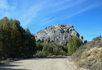
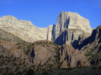
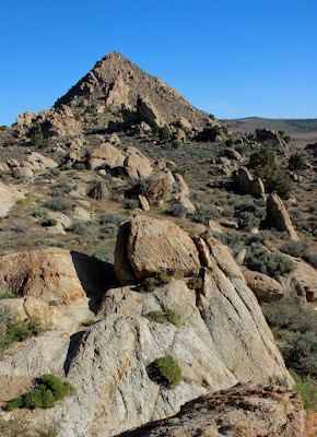
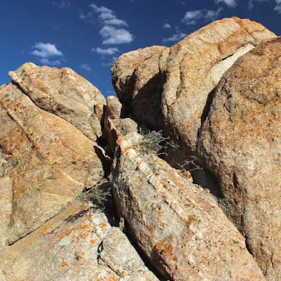
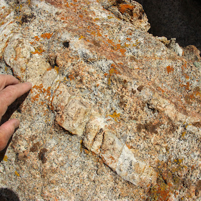
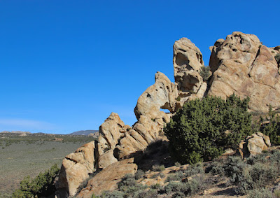
| Trailer Park Rock, part of the Harrison Pass pluton. |
Plutons are large bodies of rock, specifically igneous rock and therefore once molten. Like their namesake, the Greek god Pluto, they reside in the Underworld. Yet I spotted one on the crest of the Ruby Mountains, in northeast Nevada. Obviously there's an interesting story here, and fortunately I had several guides along to explain.
 |
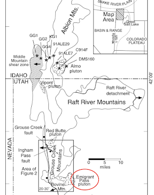
| Ruby Mountains in northeast Nevada; note Harrison Pass (modified from Snoke et al.1997). |
Trailer Park Rock started as molten magma far below the surface, in a place very different from the Earth we know. This is where the familiar lava and ash of volcanos originate as well, so it be must super hot. Could it be Hell itself?! Let's descend to the Center of the Earth. Maybe we'll find out.
Downward
 |
| Dante at the Gates of Hell on Easter Sunday, 1300 (Doré 1890). |
When
Dante Alighieri stood at the Gates of Hell, en route to the Center of the Earth, he hesitated. Shrieking, pain, death, fire, and other horrors lay ahead. But with the assurance of his guide, he entered. We, however, needn't worry. We're not being sent by a vengeful God. We are descending to gain understanding, a righteous mission. So relax and keep an eye out for rock similar to Trailer Park Rock—granitic (1) but molten.
Here's a diagram of the territory ahead—a refresher for people like me who find classification of the Earth's interior complicated. Note that there are two classifications—one based on chemical composition, and one based on physical properties. This can be confusing, especially for the outer layers.
 |
| Two classifications of the Earth's interior—chemical composition (right) and physical properties (left) (modified from Nelson 2015). |
We first descend through the rigid lithosphere, comprised of large shifting plates that jostle and collide to create our landscapes (
plate tectonics). Physically the lithosphere is a single layer, but chemically it is two: crust and the uppermost part of the mantle.
Since we're on land far from any ocean, we pass through continental crust—low density light-colored "felsic" rocks high in silica (2). This seems like an excellent magma source, as the Harrison Pluton is largely felsic. In contrast, the other layer of the lithosphere, the uppermost mantle, is peridotite, a high density dark "ultramafic" rock with much less silica and more iron and magnesium. But neither layer is liquid, so we will keep searching.
Below the lithosphere lies the asthenosphere, also part of the mantle. It's solid but soft enough to flow (ductile). It's thought that this flow drives plate tectonics—that lithospheric plates are rafted about on currents of sorts in the asthenosphere. However, it too is made of ultramafic peridotite, so we continue on.
Next we pass through the mesosphere, where the mantle is noticeably more rigid and composition is uncertain. Then, finally, we arrive at a truly liquid place, the outer core. But the composition is all wrong—mostly iron with a bit of nickel. As we approach the inner core, we see through sinister swirling shadows that it's solid rock. Probably best to turn back here.
 |
| Confronting denizens of the dolorous world (modified from Doré 1890). |
UpwardBut before we ascend, we must ask, "Why we didn't we find what we were seeking?" There has to be magma somewhere! Were we blinded by our expectations? Perhaps solid rock is fine if it can be melted. Maybe peridotite can somehow be turned into granitic rocks.
In fact, we passed suitable rocks near the beginning of our trip, in the lithosphere (crust + uppermost mantle). As my guides explain, melted lithosphere is likely the source of most magma (3). But what heat source can melt solid rock? Actually, rock doesn't have to be heated until it melts. Instead, its melting temperature can be lowered, commonly by the introduction of water or carbon dioxide (4).
While it's generally agreed that plutons originate as melted lithosphere, the question of which layer—crust or uppermost mantle—is debated. For granitic rocks such as Trailer Park Rock, continental crust is closer in composition. But geologists have learned that peridotite also can be a source of granitic rock. Molten peridotite can become more siliceous as it melts or as it rises or both, the iron and magnesium dropping out (e.g., Meldahl 2013; Nelson 2012).
Once back in the lithosphere, we wander around until we find some molten rock—magma—and follow it upward. It squeezes through fractures, melts adjacent rock, and engulfs large chunks of crust (stoping). It will ascend as long as it can, fueling volcanos if it reaches the surface. But our magma cools and becomes too viscous to move. It solidifies underground, forming a pluton. Because this could take a million years or more, we return to the surface.
If this were the end of a pluton's journey, we creatures of the surface would never see one. But some of the most dramatic landscapes of the American West are developed on plutons! So there must be more to the story.
 |
| California's Sierra Nevada is a gigantic batholith—an agglomeration of many plutons. |
 |
| Sherman batholith in the Laramie Mountains (Wyoming) is thought to be derived from mafic mantle rocks. |
Back to Harrison Pass
Obviously some plutons don't stop below the surface. After a hiatus underground, they rise again, this time carried by the crust around them. After enough uplift and erosion, they are revealed. The Harrison Pass pluton has been rising with uplift of the Ruby Mountains, which started after the pluton formed (Barnes et al. 2001) and continues today.
The Harrison Pass pluton was emplaced about 36 million years ago, in a transition zone between highly deformed rocks of the northern Ruby Mountains, and largely unaltered sedimentary rocks to the south. Multiple pulses of magma were involved, and mapping the various rock units and deciphering the pluton's history have been challenging. Younger rocks appear to be crustal in origin, whereas magma of the oldest rocks probably came from both the mantle and crust (Barnes et al. 2001).
The igneous rock exposed at Harrison Pass is granodiorite, a granitic rock felsic to intermediate in composition, perhaps reflecting mixed origins—continental crust and mantle. It's one of the older rock units in the pluton, emplaced early on.
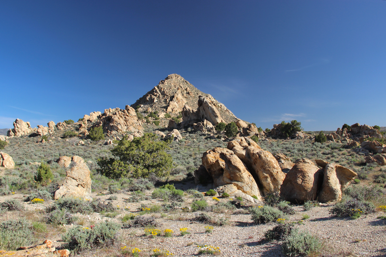
Trailer Park Rock is the largest outcrop along the Harrison Pass Road
by far. I hit the brakes when I rounded a curve and suddenly saw it in full view! It
was named for the recreational vehicles and trash that accumulate in a large pullout below. In fact, that trailer park was what kept me from getting any closer. Next time I will avoid hunting season.
 |
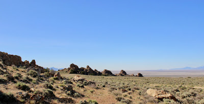
| A seriously cropped photo, shot from across the road. |
NOTES(1) "Granitic" is a category of rocks; granite is one member of the group.
(2) Plutonic igneous rocks often are classified based on silica content. In decreasing order, types include felsic, intermediate, mafic, ultramafic, and gradations in between (source). The mantle is ultramafic; the crust includes both felsic rocks (continental crust) and mafic rocks (oceanic crust).
(3) One possible exception is volcanic hot spots, where thin plumes of magma are thought to rise from deeper in the mantle (Nelson 2015).
(4) This is flux melting, in which volatiles such as water and carbon dioxide are introduced into hot rock at depth, lowering the melting temperature. It's thought to be common in but not restricted to areas of plate subduction (e.g., Nelson 2015, Johnson et al. 2021).
SOURCES
Thanks to Mike the Rock Guy for his continued help and patience.
Barnes, CG, et al. 1997. Grand Tour-Part 4: Geology and geochemistry of the Harrison Pass pluton, central Ruby Mountains, Nevada (in Snoke et al. 1997, 283-292). Available here.
Barnes, CG, et al. 2001. Petrology and geochemistry of the Harrison Pass pluton. J. Petrology 42:901-929.
DeCourten, F. 2003. The Broken Land; adventures in Great Basin geology.
DeCourten, F, and Biggar, N. 2017. Roadside Geology of Nevada.
McGrew, AJ, and Snoke, AW. 2015. Geologic map of the Welcome Quadrangle and an adjacent part of the Wells Quadrangle, Elko County, Nevada. Text and references accompanying Nevada Bureau of Mines and Geology Map 184. Available here.
Meldahl, KH. 2013. Rough-Hewn Land, a geologic journey from California to the Rocky Mountains. U. Calif. Press.
Nelson, SA. Lecture Notes (various classes). Dept. of Earth & Environmental Sciences, Tulane University. Accessed 2017.
Snoke, AW, et al. 1997. The Grand Tour of the Ruby-East Humboldt Metamorphic Core Complex, Northeastern Nevada: Part 1-Introduction & Road Log. Geology Faculty Publications. 39. Available here.